Topic: The total human footprint
All human activites leaves a footprint in nature. Also the fisheries.
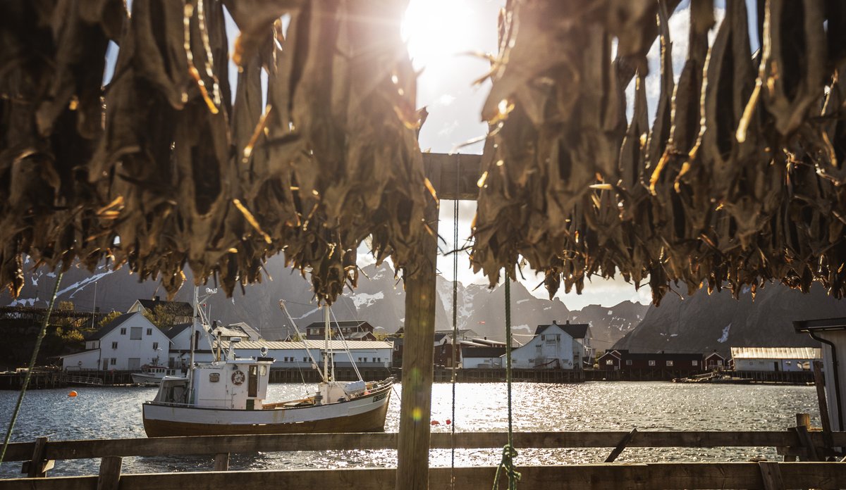
Photo: Paolo Cipriani/Institute of Marine Research NorwayPublished: 02.11.2023
Every single activity humans engage in at sea, along the coast, out in the ocean, and inside the fjords affects animals, nature, and the environment to some degree.
However, what impacts our ecosystems the most, is the sum of everything.
The Institute of Marine Research investigates the total impact of human activity in various ways. The aim is to determine where there's a risk of the ecosystem being overwhelmed – and where there is room for more activity.
The research provides policymakers, managers, and the industry with a knowledge base to make informed decisions that ensure sustainable use of the ocean's resources.
Below are some examples of research where assessing the cumulative impact is central.
The Risk Assessment of Cumulative Impact in Norwegian marine areas
In 2022, the IMR presented a comprehensive assessment of the cumulative human impact on the Norwegian seas.
The researchers evaluated each of the Norwegian seas individually, before examining each proposed SVO within these vast sea areas.
SVOs are particularly valuable and vulnerable areas (in Norwegian "Særlig Verdifulle og Sårbare Områder").
They are regions that play a significant role in the biological production and diversity of the ocean – even beyond the areas themselves. Such areas are especially susceptible to poor management, emissions, and other activities.
- The researchers found that the risk of negative impact on the ecosystems was highest near the coast.
- Here, there are many different sectors with significant overlapping activity, unlike further out in the open sea.
- All human activities contribute to the total strain on the ecosystems. However, the researchers discovered that some sectors pose a greater risk than others.
- Four sectors in particular stand out: fisheries, oil and gas, tourism and recreation, and shipping.
The risk assessment was part of a broader effort to provide the knowledge base for the government's management plan for the Norwegian seas.
The work was led by the IMR on behalf of the Expert Forum for Norwegian Marine Areas (Faglig forum for norske havområder)
Risk Map for the Coast
The risk map is a systematic mapping of all human activity that can put the Norwegian coast under pressure.
The IMR not only maps out which types of activities take place along the coast. Researchers also break it down to the different ways each individual activity can affect the ecosystems.
The different industries and activities that occur along the coast are categorized in different sectors.
Furthermore, the researchers have assessed the different ways each individual sector can impact marine life. These are called pressure factors.
The end result is also represented visually as a map overlay.
The goal of the Risk Map is:
- To monitor trends in ecosystems and human activities and impacts.
- To map out how ecological and economic key species are affected by different types of human activity.
- To conduct a risk assessment from the combined human impact on the ecosystems along the Norwegian coast.
- In the long run, marine researchers believe and hope that the Risk Map can become an important tool for decision-makers at all levels.
For example as a knowledge base when allowing expansion of local industry.