Gå til hovedinnhold
Havforskningsinstituttet
HI
English
<- Tilbake
Søk
Søk
Søk
Forskning
Forskning
Forskningsdata
Forskningsgrupper
Doktorgrader
Prosjekter
Sjømatdata
Forsknings- og rådgivningsprogram
Havforskning i utviklingsland
Studentsamarbeid
NMDC (Norwegian Marine Data Centre)
Rådgivning
Rådgivning
Kvoteråd
Trygg sjømat
Akvakultur
Forvaltningsplaner
Kunnskapsveileder for marine naturverdier og tiltak i kystsonen
Faglig utvalg for ressursforskning (FUR)
Bestandsoversikt
Referansegruppen for ressursforskning
Publikasjoner
Publikasjoner
Rapport fra havforskningen
Brosjyrer
IMR–PINRO
Toktrapporter
Temasider
Temasider
Arter
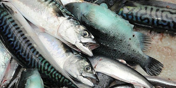
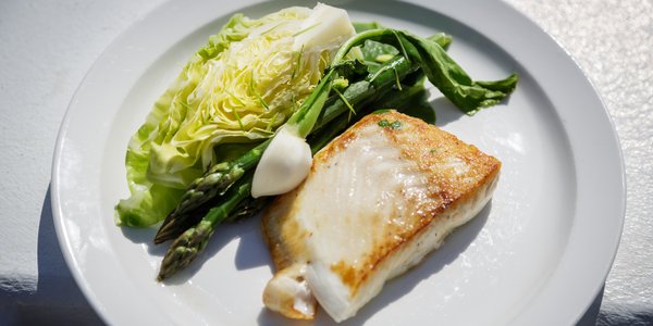
Sjømat
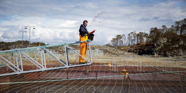
Akvakultur
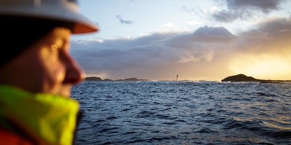
Hav og kyst
Satsinger
Tokt og felt
Tokt og felt
Nasjonalt toktprogram
Rederiavdelingen
Fartøyene våre
Referanseflåten
Hav, kyst og fjord
Havforskningsinstituttets ulike tokt
Lab og stasjoner
Lab og stasjoner
Forskningsstasjonen Austevoll
Forskningsstasjonen Flødevigen
Forskningsstasjonen Matre
Forskningsstasjonen Tromsø
Lab Austevoll
Lab Flødevigen
Lab Matre
Lab Tromsø
Om oss
Om oss
Ansatte
Kontaktinformasjon
Pressekontakt
Arrangementer
Ledige stillinger
Funnet en uvanlig eller merket fisk?
Organisasjonen
Biblioteket
Innkjøp
Postjournal
Årsrapportar
Miljøfyrtårn
Tilgjengelighetserklæring for hi.no
Handlingsplan for mangfald
Studentsamarbeid
Havforskningsinstituttets strategi 2024-2028
View page in English
Hjem
Temasider
NOT CACHED
Temasider
Sidepanel
Arter
Sjømat
Akvakultur
Hav og kyst
Satsinger